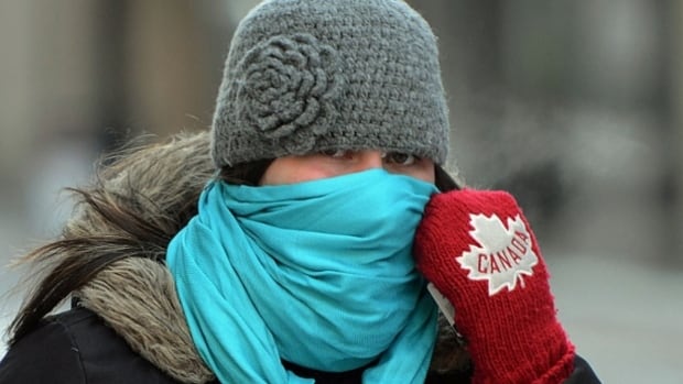
The Maritimes are no stranger to blasts of Arctic air during the months of January, February and into March. This is Canada, this is winter.
However, with the combination of cold and the wind, this Friday into Saturday is shaping up to be the coldest winter “event” folks in the Maritimes have experienced in many years.
With temperatures set to drop into the mid –20s and low –30s and strong winds expected to gust from 60 to 80 km/h, wind chill values will reach dangerous levels across the Maritimes Friday night and Saturday.
Wind chill values in the –35 to –40 range are expected for most of Nova Scotia, while P.E.I. and most of New Brunswick are looking likely to see wind chills in the –40 to –45 range. The wind chill could feel closer to –50 at times in northern New Brunswick.
Environment Canada has issued weather statements across the Maritimes, including extreme cold warnings for northern and central New Brunswick.
For context, the last time we had a similar event was February 2015. During that Arctic air outbreak, we experienced wind chill values drop into the –30 to –35 range across much of Nova Scotia, P.E.I. and New Brunswick.
It’s been 14 years since we saw wind chill values drop below –40 in Fredericton and Moncton.
We have to go back nearly 20 years to January 2004 to find the last time the wind chill dipped below –35 in the Halifax Metro area. Wind chill values dropped to -40 in Charlottetown and Saint John the same year.
Extreme cold is dangerous
So why does the wind chill matter?
The wind chill is an index developed from how we lose heat from our body and is much more representative of what we actually feel when we step outside when it’s cold.
On a calm and cold day, our bodies help to insulate us from the temperatures outside by developing a thin layer of warmer air close to our skin.

For example, a temperature of –10 with a wind of 30 km/h, feels more like –20 when the wind blows away our protective layer.

With wind chills in the –30s and –40s expected on Friday night and Saturday, the risk of frostbite to exposed skin will be high to very high in the Maritimes. If you are outside, you could experience frostbite on the face and extremities in 10 to 30 minutes, or less.
There is also the risk of hypothermia if outside for long periods of time without adequate clothing or shelter from the cold and wind.

Environment Canada has more information on wind chill, exposure and tips on how to prevent and treat cold injuries on its website.
WATCH | CBC meteorologist Ryan Snoddon’s Wednesday night forecast
CBC meteorologist Ryan Snoddon says the coldest weather will arrive Friday night and the weekend, with wind chill making it feel like it’s in the minus 40s in some areas.


